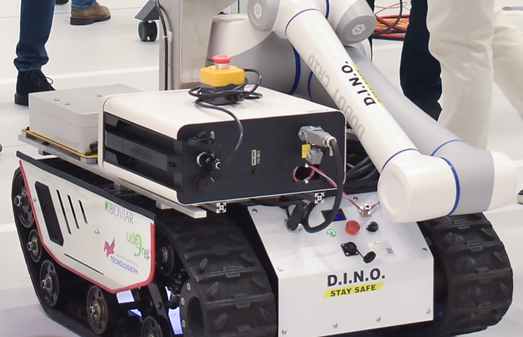
DINO
Tecnologie PM
An intelligent vehicle (UGV) to create and manage substratum- infrastructure- environment data capable of operating through a second level unmanned system controlled by an operator, in complete safety.
company name
Tecnologie PM
project title
DINO
size and location
Consorzio di piccole imprese, Pescara
partner
Competencies used
The problem
Solution
Technologies
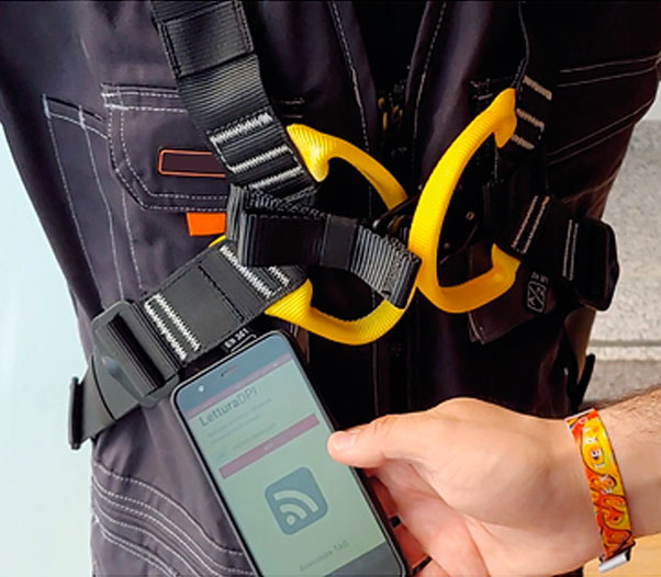
Unmanned ground vehicle (UGV) capable of /able to operate with autonomous driving in assisted mode, in open spaces/environments, performing detection and sensor installation activities of multiple types. UGV operates following a diagnostic routine, in safety, acting with multiple sensors of positioning and obstacles proximity. It is formed by a small size amphibious tractor; it facilitates all control activities that must be performed in confined spaces and/or difficult to reach; It is also indispensable for complex instrumental detection for extreme environments (tunnels, underpasses, bridges, landslide areas, areas subject to active environmental disasters).
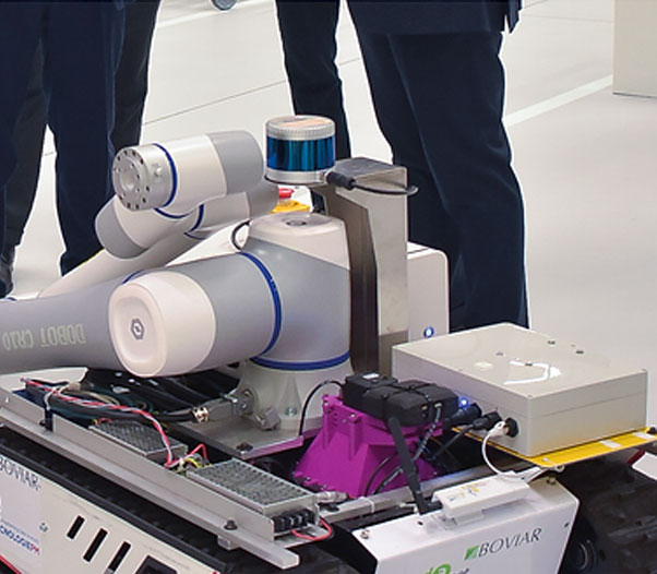
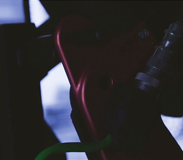
A robotic arm, to be placed on the UGV, equipped with a multi-pivot movement system, developed through deep-learning algorithms and neural networks in order to allow various detection technologies, organized and programmed positioning of sensors with the aim of facilitating the mapping activity and optimizing underground utilities and infrastructures accessibility and inspection.
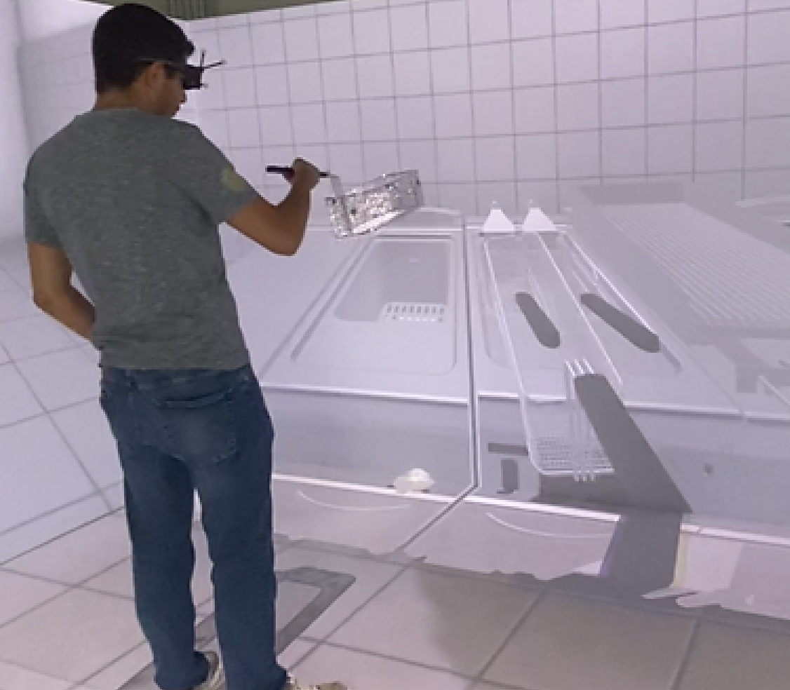
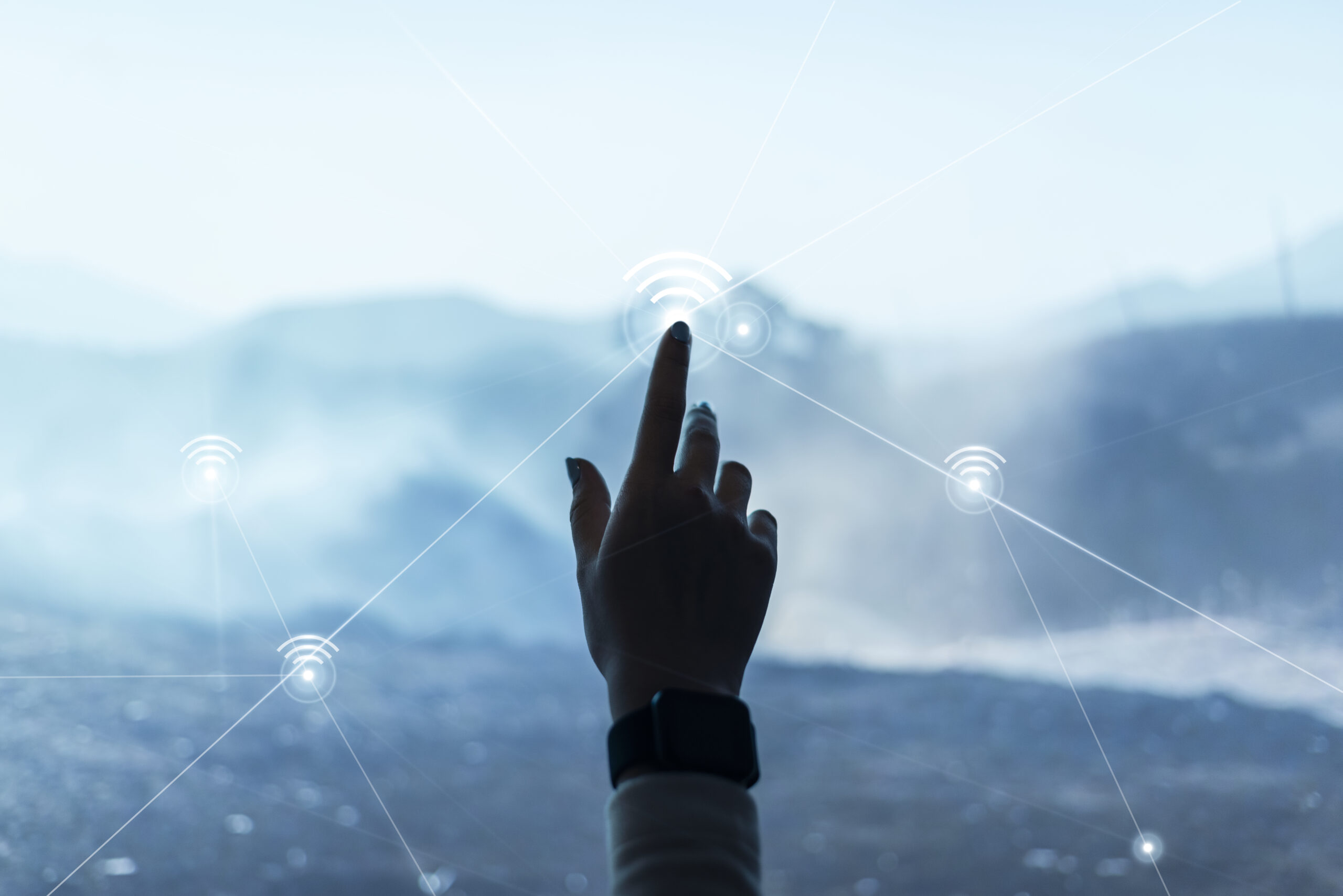
Augmented reality for the restitution of referenced data in the field, through a GPS-IMU system and an innovative platform for precision odometric analysis, independent from GPS information, developed with the consultancy and cooperation of Thales Italia.
Augmented reality to support the new model of land management and the new mode of design and maintenance interaction of design and maintenance technicians. This procedure will allow an operator to obtain detailed data (georeferenced points and reconstruction in the field of the detection carried out by the rover) on a digital device (glasses or tablet), preparing the system for a future upgrade to new interactions between multiple operators and real-time data management.
Impacts
A univocal system of on-side data representation deriving from the information of the national cartographic cadastre SINFI and/or from direct instrumental surveys is created, with particular reference to the infrastructures of the substratum, surface, and environment.
Innovative technologies and procedures to support public administrations are introduced, with particular reference to the technical support of subsoil management and breakthrough for infrastructures.
Technological innovations are suggested to support the decoding of cadastre data and surveys, providing a possibility to manage them digitally, creating a model of interaction PA-Designers-Operating Technicians.
The initial applications of data integration and information related to public land with the relevant services are developed, enabling the concept of smart cities even in historical housing contexts, strongly influenced by valuable architecture or by the presence of strong hydrogeological and seismic risks.
In particular, the possibility of acquisition of images and 2D-3D information allows creating a representation of what there is in the substratum and in the topsoil infrastructures, favoring the consultation of the SINFI cadastre. This robotized functionality is not available in the current market. Moreover, the images and the visual representation allow building a better activity management and easier digging activities identification and substratum breaking in case of new construction.
Benefits for the company
the possibility to create a prototype, subsequently tradable.
Increasing internal competence.
It strengthens the positioning in the innovation field. The company enters a developing market in which has the opportunity to build leadership.
To build an organized data storage into accessible and commercialized slots, obtained thanks to topographic-structural detection and to various typologies of sensors.